Snow Storm Weather Forecast: Nor'easter Brings First Snow to Parts of Northeast and Great Lakes
A nor'easter is bringing the first accumulating snow of the season to higher ground in the interior Northeast and Great Lakes, with freezing air spreading into the Southeast this weekend.

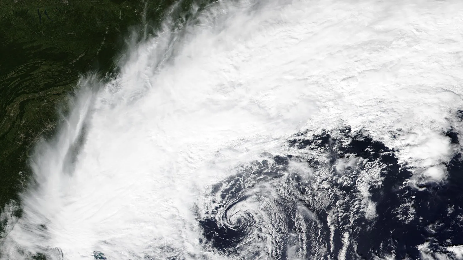
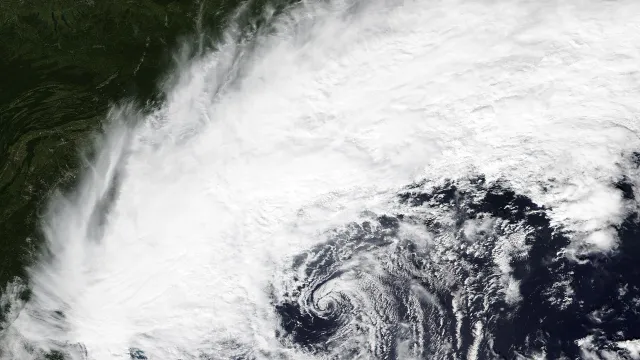
A nor'easter moving up the East Coast is bringing the first accumulating snow of the season to hills and mountains in the interior Northeast and to parts of the Great Lakes snowbelts, as a snow storm weather forecast draws wide attention. Rain is falling across much of the mid-Atlantic and Northeast, while snow is falling at higher elevations such as the Adirondacks. The storm also brought severe weather on Thursday, with reports of damaging winds, large hail and a tornado near Wilmington, Delaware.
Where the snow will fall
The best chance of accumulating wet snow is in the hills and mountains of the interior Northeast and in some Great Lakes snowbelt locations. According to the Weather Channel, forecasters cannot rule out a few flakes of wet snow at times in other Great Lakes snowbelts as far south as northern Indiana, northeast Ohio and southwest New York, and in parts of the Ohio Valley. For many of these areas, it would be the first snow of the season.
The Weather Prediction Center said rain will change to snow overnight into Friday at higher elevations in New York, northeastern Pennsylvania and northern New England, which could make roads hazardous. AccuWeather said Pittsburgh, Syracuse and Binghamton could see their first snowflakes of the season, along with the Poconos, Catskills and Berkshires. Lower-lying coastal areas, including Philadelphia, New York and Boston, are more likely to see rain than snow.
In Michigan's Upper Peninsula, the Weather Prediction Center expects heavy lake-effect snow with significant accumulation through Friday. Wet snow is also possible in the southern and central Appalachians from Friday night into Saturday morning.
Cold air and a freeze in the South
Colder air is moving south behind the storm, reaching deep into the Southeast. The first freeze of the season could arrive as far south as much of the Carolinas, northern and central Georgia and northern and central Alabama by the weekend. Frost and freeze alerts have been posted in parts of Arkansas, Mississippi, Alabama and northern Georgia through Saturday morning, with lows dipping into the upper 20s and lower 30s Fahrenheit.
Daytime highs are expected to stay in the 40s across much of the Midwest and Northeast from Friday through the weekend. Most of the Carolinas and the Tennessee Valley may not climb out of the 50s. The Weather Channel said this chilly pattern could persist across the East into early next week.
Wind, travel and flooding risks
Winds will be gusty, with gusts up to 30 mph possible. Drivers in affected areas through Saturday are advised to watch for slushy patches on roads, especially at night, and to leave extra space between vehicles. Forecasters said the storm is not expected to be high-impact, because the low-pressure system is not forecast to be especially strong. Widespread flash flooding is not expected near the coast or along parts of the Interstate 95 corridor, and coastal flooding from onshore winds is expected to be mostly minor at high tide.
Background: a nor'easter is a low-pressure system off the East Coast that pulls air in from the northeast. The National Weather Service says these storms can occur at any time of year, but they are strongest from September through April and usually bring heavy rain or snow, gale-force winds and sometimes coastal flooding.
Outlook and what we know so far
Snow totals will depend on elevation and how far the cold air reaches, and forecasts can shift. Forecasters have said the polar vortex may have played a limited role so far, though some expect its influence to increase from late November into December. A NOAA meteorologist said the vortex has been displaced for more than a week but has not reached the threshold for a sudden stratospheric warming. Residents in higher elevations should expect snow and slick roads, while gardeners in the South are advised to protect sensitive potted plants before the weekend freeze.
Read more: Earliest first snow varies widely by region, with the Rockies often seeing snow by October and the Deep South sometimes waiting until December or January.
Explainer: a very strong El Niño event in the Pacific this year is expected to affect winter weather, according to WBAL-TV, which noted that the northern U.S. may be warmer than usual while the southern states could see stormier conditions.
Fact note: the nor'easter is expected to be less severe than September's early-season storm, which killed a New York City Housing Authority worker and left more than 130,000 customers without power, the Associated Press reported.