Florida Flash Flooding Continues as Heavy Rain Hits South and East Coast
Heavy rain has pounded South and Central Florida for several days, prompting water rescues, evacuations, school closures and flash flood warnings along the Atlantic coast.

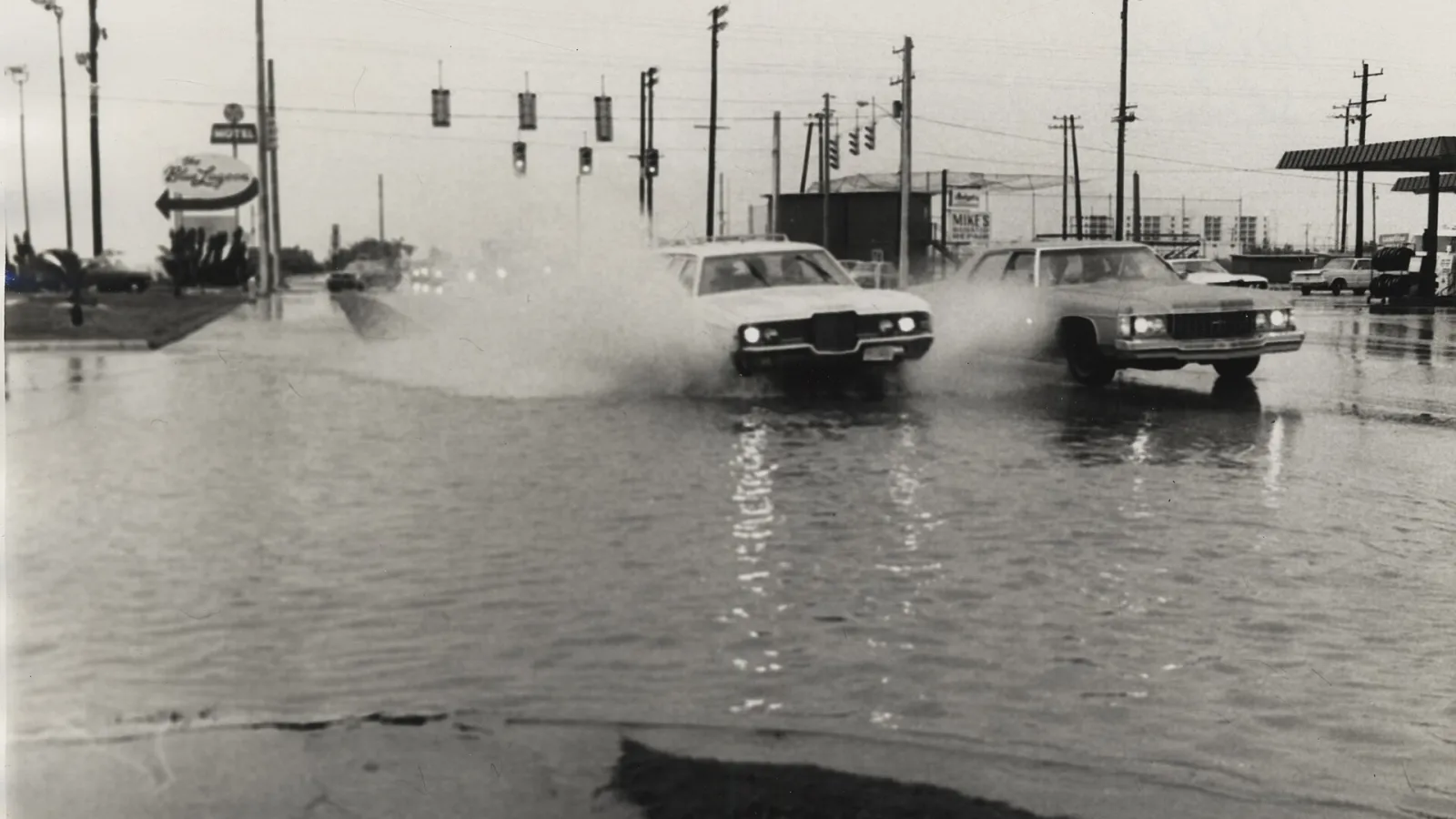
Flash flooding has continued across Florida as slow-moving storms drop heavy rain on the South and East coasts. Rain that began on Tuesday prompted water rescues, evacuations and school closures, and it kept falling into Thursday. Flash flood warnings were issued in and around Melbourne and the Space Coast, according to The Weather Channel.
Broward County and the Atlantic coast hit hard
Broward County was among the hardest-hit areas after torrential rain fell on Tuesday evening and Wednesday. The National Weather Service in Miami said as much as 15 inches fell over a 24-hour period, including in the cities of Hollywood and Plantation. Crews ran pumps to drain inundated streets, the county said on social media.
Along the Atlantic coast, some areas from South Florida to the Space Coast have recorded more than 16 inches of rain since Tuesday. The Weather Channel reported that bands of heavy rain have stretched from near and north of Miami to the Space Coast and First Coast, including areas that flooded earlier in November.
Records broken this month
The rainfall has pushed several local totals to record levels. According to The Weather Channel, Melbourne has recorded more than 17 inches of rain this month, nearly double its previous wettest November, set in 1963. Fort Lauderdale also surpassed its record wettest November, at about 15 inches, and its wettest autumn, at over 45 inches.
The St. Johns River, west of Cocoa Beach, remained in major flood after the early-November deluge and has topped its record flood from October 1953, swamping neighborhoods. The National Weather Service has also warned that areas already saturated could flood more easily, with an additional one to two inches of rain expected in parts of Southeast Florida.
Forecast and possible tropical system
NOAA's Weather Prediction Center has placed parts of the Atlantic coast under its highest flash flood risk category, and a flood watch covered Southeast Florida through Friday morning. The Weather Channel reported that the highest risk area includes Melbourne and Titusville. Bands of locally heavy rain, with occasional gusty winds, are expected to continue across the state through at least Saturday.
A low-pressure system is expected to form near the surface by late Friday or early Saturday. The National Hurricane Center is monitoring it, and it could become a subtropical or tropical storm named Kyle this weekend, according to The Weather Channel. That development is not yet confirmed and would not change the overall impacts, though it could end the rain sooner.
The heaviest additional rain through Saturday is forecast along the East Coast, between Jacksonville and Port St. Lucie. At least three more inches is expected there, with some communities possibly receiving more than a foot in the heaviest bands.
What we know so far
The flooding follows a wet fall and comes during a period when El Niño is expected to bring a wetter-than-usual winter to Florida, which is normally its dry season, according to The Weather Channel. For now, the focus is on the East Coast, where forecasters expect rain to ease by Sunday, with only isolated showers lingering. Residents in flood-prone areas are being urged to watch for updated warnings.
}