Flash flood warning trends as storms and rain sweep New Jersey this week
A flash flood warning is trending as New Jersey faces thunderstorms, hail and rain this week, with colder air and possible tidal flooding to follow.

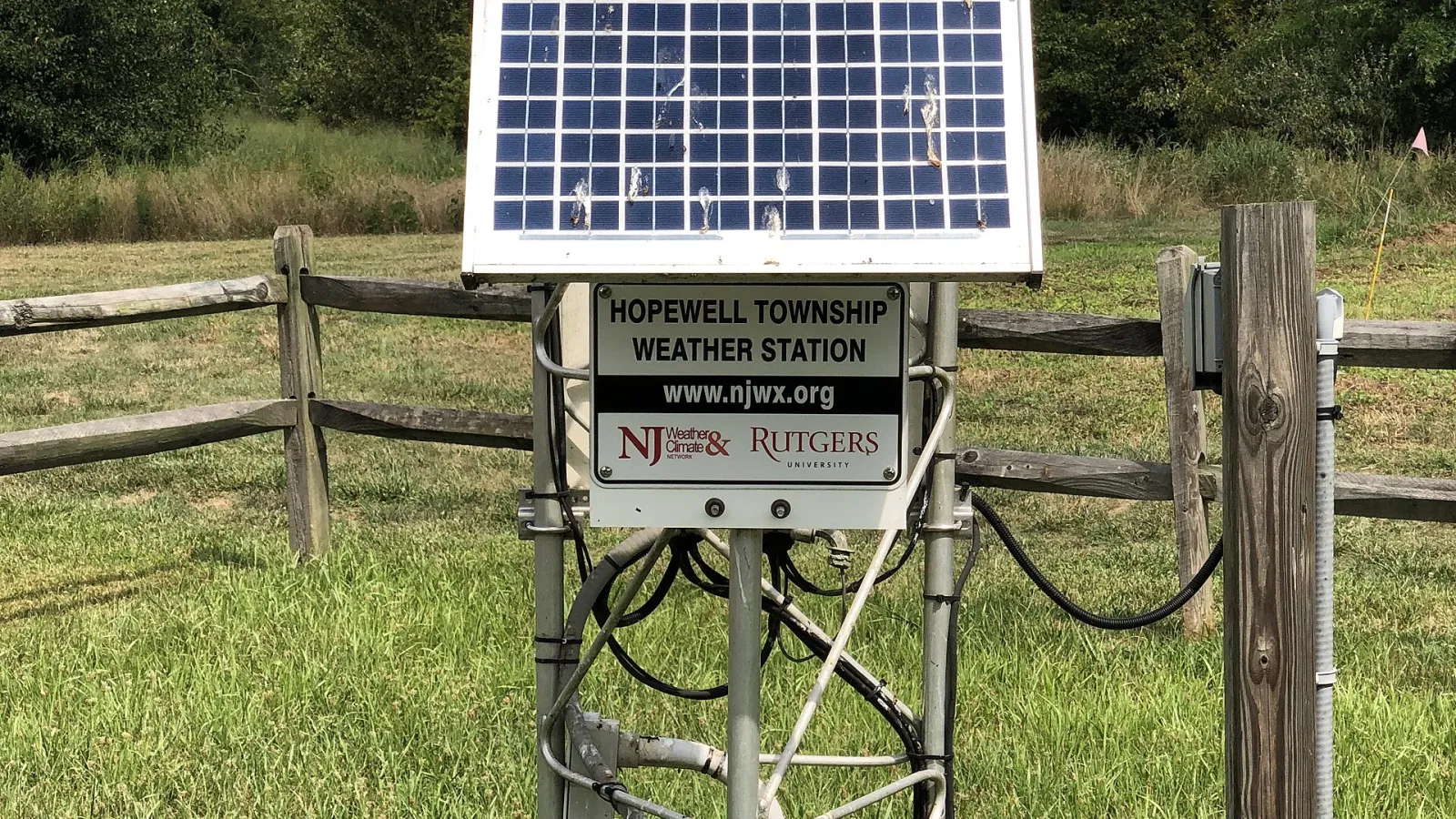
A flash flood warning is drawing wide online interest as New Jersey braces for a run of stormy, wet and increasingly cold weather. Forecasters have described a low-pressure system crossing central and southern parts of the state on Thursday, November 12, bringing the risk of hail, damaging winds and a possible tornado. The trending search comes as the National Weather Service and other forecasters outline the week's conditions.
Severe storm risk on Thursday
According to the National Weather Service, a low-pressure system moving across central and southern New Jersey could produce storm supercells, fed by the temperature contrast between the system and a warm front. The storms could bring large hail and damaging winds, and carry a risk of tornado formation, the weather service said.
Mike Lee, lead meteorologist at the National Weather Service's Mount Holly station, said the system was strengthening through Thursday afternoon. Warm, moist air near the surface in southern New Jersey and along the I-95 corridor, combined with cold air aloft, is fueling the storms, he said. He expected the worst to continue into the afternoon and possibly the early evening, with lingering showers and thunder overnight.
Rain, wind and coastal concerns
Other forecasts describe a wetter, windier end to the week. Forecasters expect the bulk of the rain to fall across the northern half of the state, with new rainfall totals of up to three quarters of an inch possible on Thursday in some areas, according to the National Weather Service forecast cited by Patch. Gusts could reach 20 to 25 mph on Thursday night and Friday.
Minor tidal flooding is possible on Thursday and Friday along the coast and Delaware Bay, the weather service said. The strongest winds are expected on Saturday, with peak gusts of about 35 mph, before easing somewhat on Sunday.
Colder air and snow outlook
Temperatures are set to fall sharply after the storm. Daytime highs on Friday and Saturday are not expected to climb out of the 40s in many areas, with overnight lows dropping into the 20s and low 30s. Lead meteorologist Lee said temperatures from Friday night into Saturday morning were likely to plunge into the upper 20s and lower 30s across much of the state.
Snow forecasts differ by location. A Patch report said accumulating snow is expected to miss most of New Jersey, with AccuWeather projections ranging from a coating to 1 to 3 inches in some nearby areas. A Bergen Record headline asked whether a winter storm watch could be issued as the coldest air arrives, but that report's details were limited, and no winter storm watch has been confirmed in the material reviewed.
What we know so far
The current picture is one of severe thunderstorm risk on Thursday, followed by rain, gusty winds and a sharp cold snap into the weekend. Forecasts indicate temperatures will moderate from Sunday through Tuesday but stay below average for this time of year. Residents should monitor National Weather Service alerts, as warnings can change quickly with storm track and timing. Any flash flood warning issued for specific areas would come directly from the weather service.